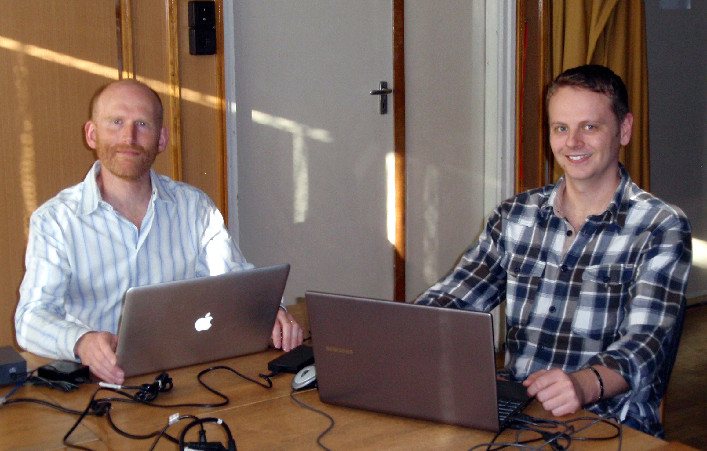
Andrew Hooper professzor (a képen balra) és Karsten Spaans (University of Leeds, West Yorkshire, England) látogatása és az Andrew Hooperrel készült interjú az MTA CSFK Geodéziai és Geofizikai Intézetben
A Leeds-i Egyetem kutatói az MTA CSFK GGI Geodinamika projekt keretében egy hétre (március 17-21.) érkeztek Sopronba. Az általuk fejlesztett programrendszer telepítését követően, a professzor és munkatársa gyakorlati példákon keresztül, részletesen ismertették annak használatát az intézet kutatói számára.
Prof. Andrew Hooper az interneten is sokak által követett „InSAR technology – theory and applications” című előadásán a műholdradar interferometria elméleti alapjairól és alkalmazási lehetőségeiről tudhattak meg többet az érdeklődők.
Az Andrew Hooper professzorral készült interjú olvasható alább.
You are a distinguished expert of new space geodesy techniques. Would you tell us something about your educational background and scientific career?
I studied Earth Sciences at Oxford University, and one of the subjects that piqued my interest was the study of crustal deformation, for which, at that time, GPS was becoming the established measurement tool. I went on to study for an MS and PhD in Geophysics at Stanford University, with the objective of studying volcanoes from a deformation perspective. Whilst there, I realised the potential of InSAR and arranged a 6 month placement at the German Space Agency, where I worked on the processor for TerraSAR-X data. Back at Stanford I went on to develop time series InSAR methods for studying volcanoes in particular, but which in general were designed to work on natural terrains and with non-linear deformation. Out of this came the StaMPS software.
When did you start to study radar interferometry?
Since then I have worked at the Universities of Iceland, Delft and now Leeds, where I am professor of Geodesy and. Geophysics. With my group, I have continued to develop INSAR techniques, to increase accuracy and to take advantage of the new capabilities of more recent satellites.
What is the importance of InSAR developments and applications?
InSAR has already contributed much to fields such as tectonics, volcanism and glaciologist. In addition it is used to constrain subsidence to man made processes such as oil and gas extraction. The key advantages when compared to traditional geodetic methods or even GNSS, is that the density of measurements is orders of magnitude higher, and they can be acquired remotely saving the expense of fieldwork.
Which are the most challenging scientific issues in InSAR technology in the future?
With the upcoming launch of Sentinel-1 by the European Space Agency, we will be deluged with data. Up until now, SAR satellites have had a scientific remit, but Sentinel-1 will be operational and acquire data over much of the World every 3 days. We will need new approaches to process these data and to detect signals of deformation remotely. But we can expect new applications, such as near real-time monitoring of infrastructure and volcanoes.
What are your impressions about the planes of the Geodynamics research group of Sopron?
I think the introduction of InSAR to the Geodynamics research group is timely. Another advantage of Sentinel-1 and other upcoming missions is that we will be able to constrain low strain rates much more accurately than in the past. Thus the technique will come of age for Geodynamics applications.


